
FOSS4G Boston 2017
From August 13th – 19th Dennis & Kerst flew to Boston to take part in the annual FOSS4G conference – thanks GEOLYTIX!
8th September 2017 • Our Team
It was a week full of presentations and talking to GIS people from around the world: there were over 1.100 participants from 48 nations! Below are some impressions from our time in Boston…
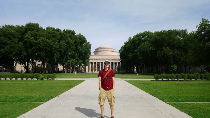
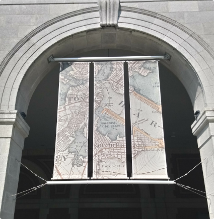
Before Dennis’ first workshop we had some time to explore Boston…

…visiting the MIT…
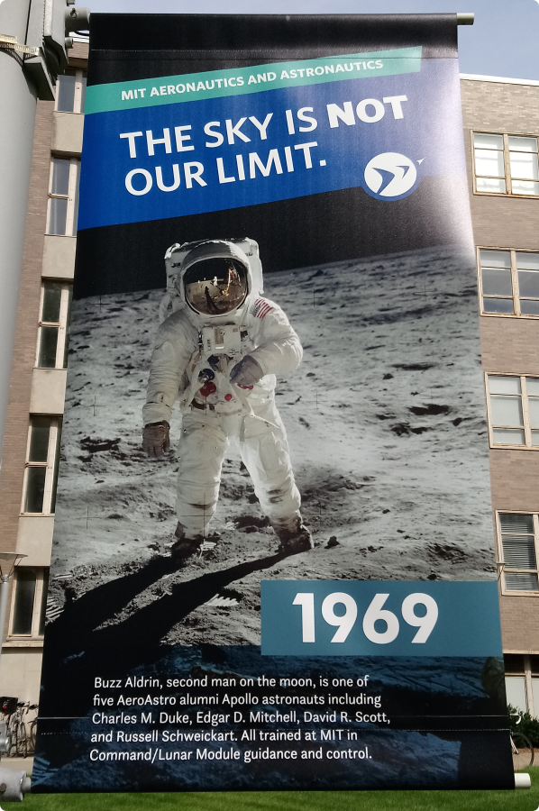
…, being inspired…
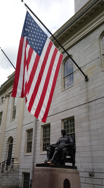
…and saying ‘hello’ to John Harvard at Harvard Yard.
The following day was full of workshops: Dennis talked about
Hex bin layers from raster and vector sources with PostGIS
in the morning and
Hex bin data from PostGIS as dynamic multivariate themed maps with Leaflet or OpenLayers on a Node.js backend
in the afternoon.
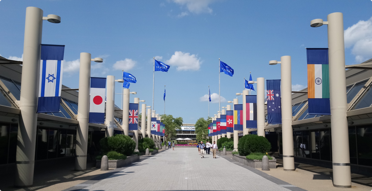
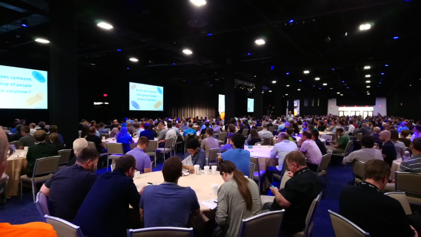
Finally the conference kicked off at the World Trade Center:
The main conference hall was packed to listen to Paul Ramsey talk about “Why We Code”
Over the next two and a half days we attended as many talks as we could…
Monsanto & Boundless contribution to the open source community enabling fine grain entitlement for open source geospatial cloud systems (Geoserver) and desktop applications (QGIS) … The role of open source geospatial software for market research in natural resources … Extending PostGIS with Python … Discovering the world of open data … The UN OpenGIS Initiative … Big Data at the heart of open geospatial innovation…Extracting building information from remotely sensed imagery … Making money and building a business with Open Source Geospatial Technology: What works today? What will work in the future?
Maps continued to follow us to the social BBQ event outside the conference center…
More talks on Thursday:
Coding as a first resort .. .A journey through R for Geo … Live Drone Map – An automatic real-time UAV mapping solution … Imaging the earth every day … MapBox GL: How vector maps work … Fake maps – very dishonest … Visualization and analysis of active transportation patterns derived from public webcams … Free Software: Freedom, Privacy, Sovereignty
On Thursday night there was a gala event at the New England Aquarium – talking GIS next to sea life…
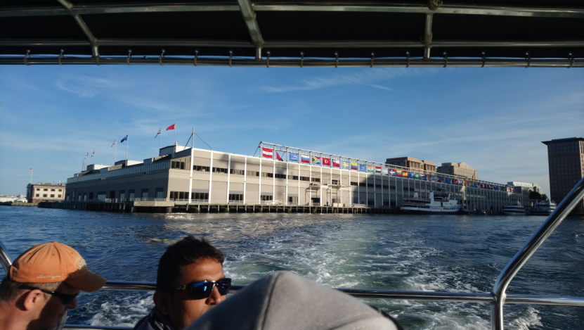
…taking the boat from the conference center to the aquarium…
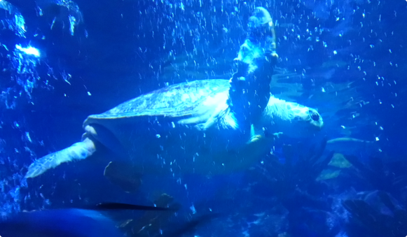
… high 5 from an ancient turtle…
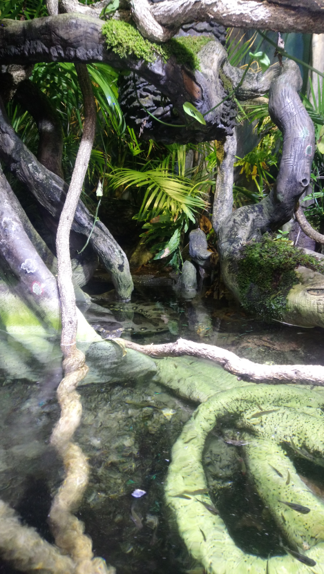
…can you spot the Anaconda?
The last day of the conference…
What defines a neighborhood? … Processing imagery from the world’s largest fleet of satellites … Exploring location data services through SQL … Falsehoods programmers believe about time and space … Big weather data, all about partitions and precipitation … Indexes in geo-temporal data sets … How much is enough?
We look back at FOSS4G 2017 as a great event that gave us the opportunity to meet fantastic GIS people from all over the world. For next year we are looking forward to attending FOSS4G in Dar es Salaam!

Related Posts
-

The Big Spend: Highlights from the Data Science Hackathon
Each year we host a Data Science Hackathon. Danny shares the theme for this years.
Published 16th April 2026 • Tags our-team
-
Employee Benefits at Geolytix
If working with an awesome team on interesting projects isn't quite enough, Geolytix employees benefit from lots of other perks too.
Published 5th January 2026 • Tags our-team, career
-
GEOLYTIX and the 30 Day Map Challenge 2025
Daily social mapping project happening every November: https://30daymapchallenge.com/. The fourth year we have joined this as a team, see all our maps here.
Published 10th December 2025 • Tags geodata, our-team